Today marks 190 years since Toronto was incorporated, and the city has grown and shifted substantially over the years. Here’s a snapshot of its beginnings and a look at where some of its historical landmarks stand today.
Toronto as we know it was incorporated in 1834, but prior to that it was called York, which was established as the capital of British ruled Upper Canada in 1793.
For over 12,000 thousands years, the land that Toronto sits on was home to many Indigenous hunter gatherer populations who settled and thrived throughout southern Ontario.
But, after its incorporation, the city began to sprawl, and for a period of about 100 years, starting in the 1850’s, its shoreline shifted further and further south.
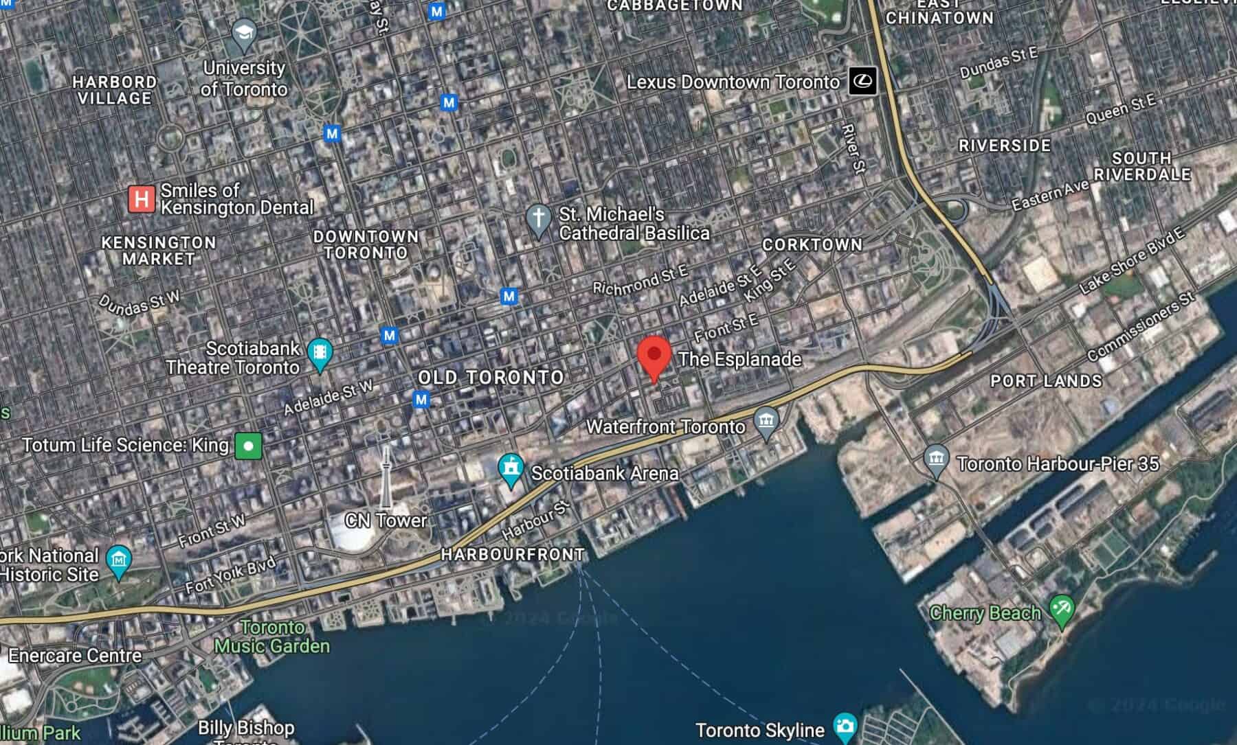
According to Waterfront Toronto, which was established in 2001 to manage Toronto’s waterfront, a massive campaign of lake-filling was undertaken to expand the shore land south to the Esplanade.
The original shoreline was north of today’s rail corridor, and Front Street was built along the edge of the shoreline. The filling continued until the 1950s when the modern shoreline was achieved.

The earliest known photographs of Toronto were taken around 1856 to 1857 and can be found on the city’s website. They were taken as part of its bid to become Canada’s capital.
The application included an image of Trinity College, which was completed in 1852 and originally located in what is now Trinity Bellwoods Park.

Today, the only remaining features of the original Trinity College building are its restored gates at the south entrance of Trinity Bellwoods. Trinity College is now located on Hoskin Avenue, west of Queens Park.